Rovr TarantulaX
Rovr TarantulaX
Available Now!
For orders of 5 and above message, or email us at:
sales@smarttechgadgets.co.uk
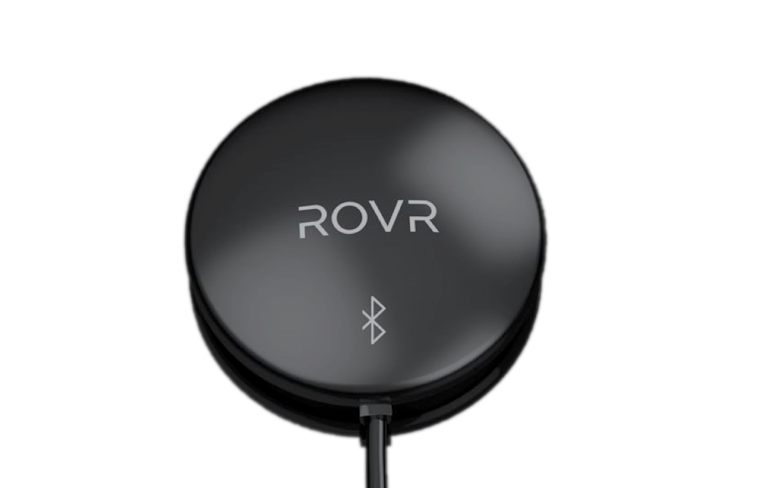
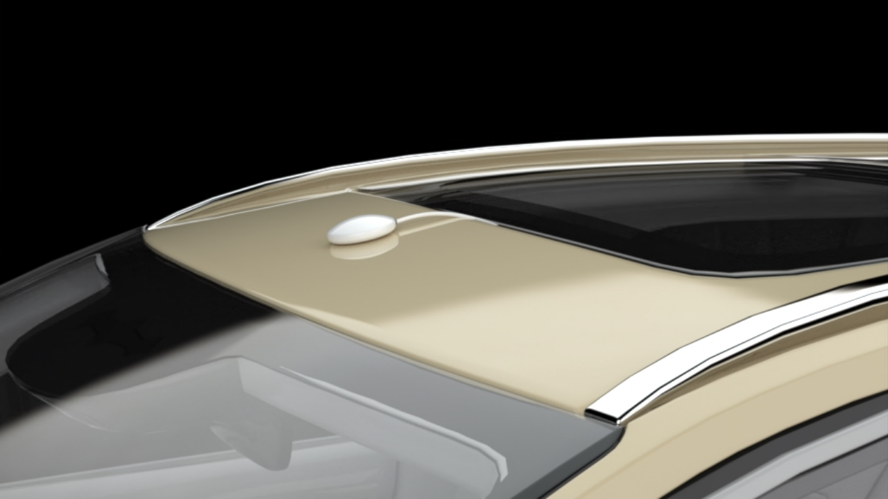
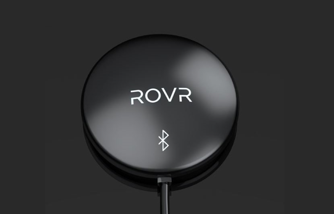
TarantulaX is an enhanced RTK receiver that, through hardware encryption design, IMU fusion algorithms, and integration with the new generation of ROVR's hand-eye calibration model, can easily boost the user's phone accuracy to 2 cm.
Overview
Overview
What is TarantulaX used for?
To put it simply, the GPS accuracy of a smartphone usually ranges from a few meters to over 10 meters. The lack of positioning accuracy is cited by many as one of the core reasons why smartphones are considered inadequate for mapping and 3D data collecting. However, with the assistance of TarantulaX, the positioning accuracy of your phone will be astonishingly improved to 1 centimeter.
Of course, TarantulaX is not just for helping with phone positioning. For instance, it can also maintain high-precision positioning for your phone even in the absence of GPS signals (such as in tunnels). Isn't that amazing?
(The yellow part is the tunnel where there is no GPS signal at all, but clearly, the phone can still precisely locate itself.)
TarantulaX is also a special device designed specifically for Web3 and blockchain applications, featuring robust security measures. No one can falsify the location data of TarantulaX, which is crucial for DePIN projects. It has a complex security chip built in, which chain-signs all TarantulaX data. Each piece of data, just like in a blockchain, carries the hash value of the previous piece of data. Forging TarantulaX data would be as unwise as trying to forge a Bitcoin block.
In summary, a highly precisely located phone, within the ROVR network, can collect information on public roads using its sensors (video, speed, acceleration, heading, altitude, magnetic declination, etc.), and earn substantial ROVR token rewards for doing so.
- Why can TarantulaX improve your phone's positioning accuracy to a level of 1 cm? It’s not magic; this is called RTK(Real - time kinematic)
GPS on phones inherently has errors, no matter how expensive the phone is. It often mixes up its precise location. For example, you might be on the south side of the street, but when you call an Uber, your phone shows you on the north side, so the Uber driver has to turn around to pick you up. Besides receiving GPS satellite signals, TarantulaX also receives broadcast information from nearby correction service base stations through the phone. It compares and calculates the current spatial and temporal GPS error values to finally compute the precise location.
RTK systems
And that's not all. TarantulaX must also work with the phone to complete a series of calibration steps to determine the three-dimensional spatial position offset between the TarantulaX antenna and the phone (of course, all of this is done automatically). Through coordinate transformation, it ultimately enhances the phone's positioning accuracy to an incredible 1 centimeter level.
Automatic Calibration
- What happens if the GPS signal is lost?
TarantulaX integrates a high-precision IMU system (Inertial Measurement Unit), which can continue to determine the real trajectory for a considerable time after the GPS signal is lost. It does this by measuring the current speed, acceleration, and attitude data, etc., and applying complex algorithms for filtering and integration. Additionally, ROVR will use prior data from TarantulaX and further enhance positioning accuracy without GPS signals through the sensors on the smartphone.
- Extremely Powerful Anti-Spoofing Mechanism
For DePIN projects, cheating, especially with location information, is a significant problem. However, this issue will be completely eradicated in the ROVR project because of TarantulaX's unique method. It packages 1Hz GPS messages and satellite observation data into successive blocks, signing each block. If people can't forge Bitcoin blocks, they won't be able to forge the data sent by TarantulaX either.
Product Specs
Product Specs
- Dual-band GNSS (L1/L5)
- NMEA and RTCM3.2 Messages (RTK/PPK)
- Positioning Accuracy: ±2 cm
- Hardware Data Encryption for Blockchain Applications
- Dual Patch Antenna: 35mm x 35mm + 25mm x 25mm
- 6-axis IMU
- Waterproofing Grade: IP67
- Dual-band GNSS (L1/L5)
- NMEA and RTCM3.2 Messages (RTK/PPK)
- Positioning Accuracy: ±2 cm
- Hardware Data Encryption for Blockchain Applications
- Dual Patch Antenna: 35mm x 35mm + 25mm x 25mm
- 6-axis IMU
- Waterproofing Grade: IP67
Share
Always 5 stars
5 star seller